 |
 |
 |
 |
 |
 |
 |
 |
 |
 |
 |
 |
 |
 |
 |
 |
 |
 |
 |
 |
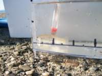
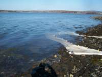
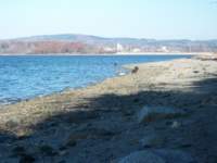
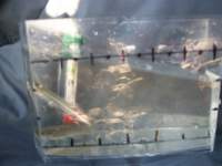
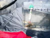
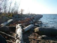
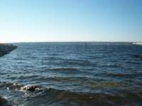
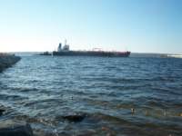
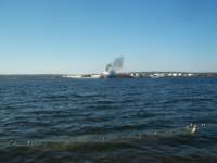
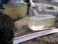
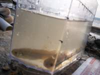
Photographs from November 7th, 8th and 9th on Sears Island, using the 60 foot small mesh beach seine along the west side of Sears Island from near the causeway to the approximate southern terminus of the "marine transportation parcel". In general, a high density of small fishes and shrimps was found in shallow sheltered sand/mud bottom protected waters at top of the island closest to causeway; smallest amount were found in exposed rocky surf areas at the far end of the survey. Water was clearest in undisturbed sheltered areas, most turbid in high energy shore areas. Frequent net fouling on rocks in that zone may have contributed to the lower number of captures.
Photo album created with Web Album Generator